| Location |
| City: | | Aalborg, Denmark |
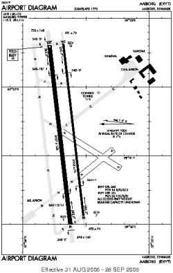
| ICAO / IATA: | EKYT / AAL |
Details |
| Type: | Airport (Aerodrome, Airfield) |
| Latitude: | 57°05'34"N (57.092789) |
| Longitude: | 9°50'57"E (9.849164) |
| Elevation: | 10 ft (3 m) |
| Runways: | 2 |
| Longest: | 8707 × 148 ft (2654 × 45 m) |
Time |
| Timezone: | UTC+1 (DST+4) |
| Local Time: | |
Weather |
| METAR: | EKYT | 041350Z AUTO 20014KT 9999 -RA FEW009/// BKN011/// OVC015/// 03/02 Q1013 R26L/290195
|
| TAF: | EKYT | 041118Z 0412/0512 21005KT 8000 -RADZ SCT008 BKN020 TEMPO 0412/0424 19015G28KT 2000 RASNDZ BKN004
FM050000 24020KT 9999 BKN020 TEMPO 0500/0507 27022G34KT 4000 SHRA BKN012 SCT020CB TEMPO 0507/0512 28018G30KT
|
Related Locations |
| Nearby: | |
| Farthest: | CHT: 11472 mi / 18463 km
Waitangi [Tuuta], CIT, NZ |
Find: |
|
Other Information |
Maps:
|
Sources:
|
|