| Location |
| City: | | Charlotte, North Carolina, United States |
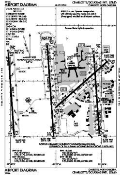
| Name: | Charlotte/Douglas International Airport |
| ICAO / IATA: | KCLT / CLT |
| FAA: | CLT |
Details |
| Type: | Airport (Part 139 Class I) |
| Use: | Public/Civil |
| Latitude: | 35°12'49"N (35.213750) |
| Longitude: | 80°56'57"W (-80.949055) |
| Datum: | WGS 1984 |
| Elevation: | 747 ft (228 m) |
| Runways: | 4 |
| Longest: | 10000 × 150 ft (3048 × 45.5 m) |
Time |
| Timezone: | UTC+29:08 (DST+32:08) |
| Local Time: | |
Weather |
| METAR: | KCLT | 041352Z 28005KT 10SM CLR 07/04 A3010 RMK AO2 SLP193 T00720039
|
| TAF: | KCLT | 041412Z 0414/0518 29005KT P6SM SKC
FM041700 24003KT P6SM FEW250
FM050000 20003KT P6SM FEW100 SCT220
FM050800 23003KT P6SM SCT100
|
Related Locations |
| Nearby: | |
| Farthest: | YAUG: 11527 mi / 18550 km
Augusta [Augusta Airport], WA, AU |
Find: |
|
Other Information |
Maps:
|
Delays:
|
Links:
|
Sources:
|
|