| Location |
| City: | | Cincinnati, Kentucky, United States |
| Near (Alt.): | Covington |
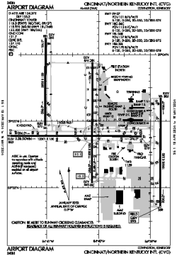
| Name: | Cincinnati/Northern Kentucky International Airport |
| ICAO / IATA: | KCVG / CVG |
| FAA: | CVG |
Details |
| Type: | Airport (Part 139 Class I) |
| Use: | Public/Civil |
| Latitude: | 39°02'56"N (39.048837) |
| Longitude: | 84°40'04"W (-84.667820) |
| Datum: | WGS 1984 |
| Elevation: | 896 ft (273 m) |
| Runways: | 4 |
| Longest: | 12001 × 150 ft (3658 × 45.5 m) |
Time |
| Timezone: | UTC+29:08 (DST+32:08) |
| Local Time: | |
Weather |
| METAR: | KCVG | 041352Z 18010KT 10SM SCT095 BKN250 10/07 A2993 RMK AO2 SLP135 T01000072
|
| TAF: | KCVG | 041145Z 0412/0518 19010KT P6SM SCT250
FM041500 19012G20KT P6SM SCT025 BKN080
FM041800 19012G20KT P6SM -RA BKN018 OVC070 TEMPO 0420/0422 5SM -RA
FM042200 19011KT P6SM VCSH OVC015
FM050000 20009KT P6SM -RA OVC012
FM050300 22009KT 5SM -RA BR OVC009
FM050700 31007KT 5SM BR VCSH OVC005
FM051200 35005KT 5SM BR VCSH OVC009
FM051400 03006KT 4SM BR VCSH OVC007
|
Related Locations |
| Nearby: | |
| Farthest: | YAUG: 11297 mi / 18180 km
Augusta [Augusta Airport], WA, AU |
Find: |
|
Other Information |
Maps:
|
Delays:
|
Links:
|
Sources:
|
|