| Location |
| City: | | St. Anthony, Newfoundland and Labrador, Canada |
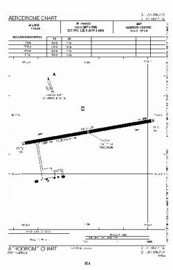
| Name: | St. Anthony Airport |
| ICAO / IATA: | CYAY / YAY |
Details |
| Type: | Airport (Airfield) |
| Use: | Public/Civil |
| Latitude: | 51°23'31"N (51.391944) |
| Longitude: | 56°04'59"W (-56.083055) |
| Elevation: | 108 ft (33 m) |
| Runways: | 1 |
| Longest: | 4003 ft (1220 m) |
Time |
| Timezone: | UTC+30:38 (DST+33:38) |
| Local Time: | |
Weather |
| METAR: | CYAY | 041400Z AUTO 23015KT 9SM CLR M11/M14 A2997 RMK ICG SLP152
|
| TAF: | CYAY | 041341Z 0414/0502 23012KT P6SM BKN140 TEMPO 0416/0418 3SM -SN OVC080
FM041800 23007KT 6SM -SN OVC070 TEMPO 0418/0423 21/2SM -SN BKN020 OVC050
FM042300 VRB03KT 5SM -SN BKN030 RMK FCST BASED ON AUTO OBS. NXT FCST BY 042000Z
|
Related Locations |
| Nearby: | |
| Farthest: | YCSK: 11302 mi / 18189 km
Casey Station [Casey Station Skiway], Wilkes Land, AQ |
Find: |
|
Other Information |
Maps:
|
Sources:
|
|