| Location |
| City: | | Kitchener, Ontario, Canada |
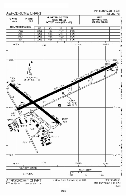
| Name: | Region of Waterloo International (Kitchener-Waterloo Regional Airport) |
| ICAO / IATA: | CYKF / YKF |
Details |
| Type: | Airport (Airfield) |
| Use: | Public/Civil |
| Latitude: | 43°27'39"N (43.460833) |
| Longitude: | 80°22'43"W (-80.378610) |
| Elevation: | 1055 ft (322 m) |
| Runways: | 2 |
| Longest: | 7002 ft (2134 m) |
Time |
| Timezone: | UTC+29:08 (DST+32:08) |
| Local Time: | |
Weather |
| METAR: | CYKF | 041400Z AUTO 18005KT 6SM BR SCT055 OVC081 05/04 A2990 RMK SLP133
|
| TAF: | CYKF | 041338Z 0414/0502 VRB03KT 2SM -DZ BR BKN005 OVC030 TEMPO 0414/0416 6SM -RA BR SCT005 OVC030
FM041600 21012KT P6SM SCT010 BKN240 TEMPO 0416/0420 BKN010 BKN240 BECMG 0417/0419 20015G25KT
FM042000 20015G25KT P6SM BKN030 OVC090 TEMPO 0420/0423 BKN020 OVC060
FM042300 21018G28KT 3SM -RA BR SCT008 OVC012
FM050100 22018G28KT 11/2SM -RA -DZ BR BKN008 OVC010 RMK FCST BASED ON AUTO OBS. NXT FCST BY 042000Z
|
Related Locations |
| Nearby: | |
| Farthest: | YAUG: 11393 mi / 18335 km
Augusta [Augusta Airport], WA, AU |
Find: |
|
Other Information |
Maps:
|
Sources:
|
|