| Location |
| City: | | Muskoka, Ontario, Canada |
| Name: | Muskoka Airport |
| ICAO / IATA: | CYQA / YQA |
Details |
| Type: | Airport (Airfield) |
| Use: | Public/Civil |
| Latitude: | 44°58'30"N (44.975000) |
| Longitude: | 79°18'14"W (-79.303888) |
| Elevation: | 922 ft (281 m) |
| Runways: | 2 |
| Longest: | 6000 ft (1829 m) |
Time |
| Timezone: | UTC+29:08 (DST+32:08) |
| Local Time: | |
Weather |
| METAR: | CYQA | 041400Z AUTO 11003KT 1/8SM FG VV002 01/01 A2987 RMK ICG INTMT SLP127
|
| TAF: | CYQA | 041240Z 0413/0501 VRB03KT 1/2SM -FZRA FG VV002 TEMPO 0413/0418 3SM -RA BR SCT002 OVC005 BECMG 0416/0418 15008KT
FM041800 15010KT P6SM SCT005 BKN020 TEMPO 0418/0419 3SM -DZ BR BKN005 OVC020
FM041900 15010G20KT P6SM SCT020 BKN040 TEMPO 0419/0421 BKN020 OVC040
FM042100 16012G22KT 6SM -RA BR SCT008 OVC025 RMK FCST BASED ON AUTO OBS. AUTO OBS NON-REPRESENTATIVE OF CRNT WX. NXT FCST BY 042000Z
|
Related Locations |
| Nearby: | |
| Farthest: | YAUG: 11374 mi / 18305 km
Augusta [Augusta Airport], WA, AU |
Find: |
|
Other Information |
Maps:
|
Sources:
|
|
|
|
Airport Diagram
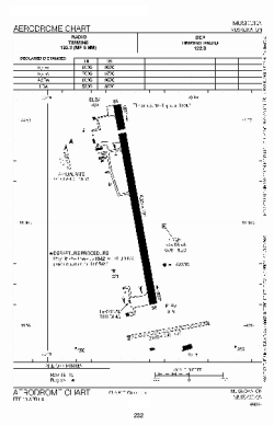
Airport diagram PDF from NAV Canada
|
