| Location |
| City: | | The Pas, Manitoba, Canada |
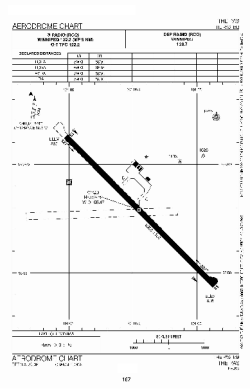
| Name: | The Pas Airport |
| ICAO / IATA: | CYQD / YQD |
Details |
| Type: | Airport (Airfield) |
| Use: | Public/Civil |
| Latitude: | 53°58'17"N (53.971389) |
| Longitude: | 101°05'28"W (-101.091110) |
| Elevation: | 888 ft (271 m) |
| Runways: | 1 |
| Longest: | 5901 ft (1799 m) |
Time |
| Timezone: | UTC+28:08 (DST+31:08) |
| Local Time: | |
Weather |
| METAR: | CYQD | 041400Z AUTO 29004KT 6SM HZ BKN240 M34/M37 A3040 RMK SLP338
|
| TAF: | CYQD | 041238Z 0413/0501 33003KT P6SM FEW020 FEW100 SCT220 TEMPO 0413/0417 4SM IC
FM041700 28005KT P6SM SCT012 BKN100 TEMPO 0417/0501 4SM -SN BKN012 OVC080 RMK FCST BASED ON AUTO OBS. NXT FCST BY 041900Z
|
Related Locations |
| Nearby: | |
| Farthest: | YCSK: 11066 mi / 17810 km
Casey Station [Casey Station Skiway], Wilkes Land, AQ |
Find: |
|
Other Information |
Maps:
|
Sources:
|
|