| Location |
| City: | | Penticton, British Columbia, Canada |
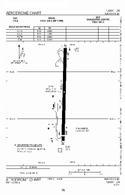
| ICAO / IATA: | CYYF / YYF |
Details |
| Type: | Airport (Airfield) |
| Use: | Public/Civil |
| Latitude: | 49°27'45"N (49.462500) |
| Longitude: | 119°36'08"W (-119.602221) |
| Elevation: | 1130 ft (344 m) |
| Runways: | 1 |
| Longest: | 6000 ft (1829 m) |
Time |
| Timezone: | UTC+26:08 (DST+29:08) |
| Local Time: | |
Weather |
| METAR: | CYYF | 041400Z 33018KT 5SM -SN SCT025 OVC046 M14/M20 A2994 RMK SN1SF2SC5 VIS LWR N SLP168
|
| TAF: | CYYF | 041238Z 0413/0501 34015G25KT P6SM FEW020 OVC060 TEMPO 0413/0423 5SM -SN
FM042300 35015G25KT P6SM FEW050 SCT070 RMK NXT FCST BY 041900Z
|
Related Locations |
| Nearby: | |
| Farthest: | FAME: 11386 mi / 18324 km
Marion Island, Prince Edward Islands, WC, ZA |
Find: |
|
Other Information |
Maps:
|
Sources:
|
|