| Location |
| City: | | Bathurst, New Brunswick, Canada |
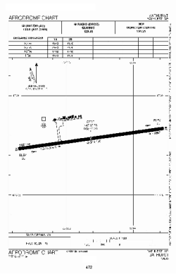
| Name: | Bathurst Airport |
| ICAO / IATA: | CZBF / ZBF |
Details |
| Type: | Airport (Airfield) |
| Use: | Public/Civil |
| Latitude: | 47°37'47"N (47.629722) |
| Longitude: | 65°44'20"W (-65.738888) |
| Elevation: | 193 ft (59 m) |
| Runways: | 1 |
| Longest: | 4500 ft (1372 m) |
Time |
| Timezone: | UTC+30:08 (DST+33:08) |
| Local Time: | |
Weather |
| METAR: | CZBF | 041400Z AUTO 28003KT 220V300 9SM BKN019 OVC027 M08/M10 A2990 RMK SLP132
|
| TAF: | CZBF | 041338Z 0414/0502 19005KT 6SM -SN OVC025 TEMPO 0414/0418 21/2SM -SN OVC020 PROB40 0414/0418 3SM -FZDZ BR
FM041800 30008KT P6SM BKN020 OVC140 TEMPO 0418/0421 SCT020 OVC140
FM042100 30008KT P6SM SCT020 BKN140 RMK FCST BASED ON AUTO OBS. NXT FCST BY 042000Z
|
Related Locations |
| Nearby: | |
| Farthest: | YDEK: 11540 mi / 18572 km
Denmark, WA, AU |
Find: |
|
Other Information |
Maps:
|
Sources:
|
|