| Location |
| City: | | Detroit, Michigan, United States |
| Near (Alt.): | Romulus |
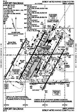
| Name: | Detroit Metropolitan Wayne County Airport |
| ICAO / IATA: | KDTW / DTW |
| FAA: | DTW |
Details |
| Type: | Airport (Part 139 Class I) |
| Use: | Public/Civil |
| Latitude: | 42°12'45"N (42.212431) |
| Longitude: | 83°21'12"W (-83.353392) |
| Datum: | WGS 1984 |
| Elevation: | 645 ft (197 m) |
| Runways: | 6 |
| Longest: | 12003 × 200 ft (3659 × 61 m) |
Time |
| Timezone: | UTC+29:08 (DST+32:08) |
| Local Time: | |
Weather |
| METAR: | KDTW | 041353Z 17006KT 7SM SCT035 OVC060 07/03 A2987 RMK AO2 SLP116 T00720033 $
|
| TAF: | KDTW | 041120Z 0412/0518 18009KT P6SM SCT040 BKN070 TEMPO 0412/0414 5SM BR BKN040
FM041900 18014G22KT 6SM -SHRA BR BKN015 OVC040
FM050000 21012G18KT P6SM OVC015
FM050600 25010KT P6SM OVC025
FM051000 29008KT P6SM SCT025 BKN100
|
Related Locations |
| Nearby: | |
| Farthest: | YAUG: 11299 mi / 18184 km
Augusta [Augusta Airport], WA, AU |
Find: |
|
Other Information |
Maps:
|
Delays:
|
Links:
|
Sources:
|
|