| Location |
| City: | | Dubai, Dubai, United Arab Emirates |
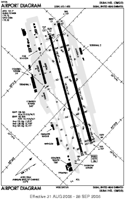
| Name: | Dubai International Airport |
| ICAO / IATA: | OMDB / DXB |
Details |
| Type: | Airport (Aerodrome, Airfield) |
| Use: | Public/Civil |
| Latitude: | 25°15'10"N (25.252778) |
| Longitude: | 55°21'52"E (55.364444) |
| Datum: | WGS 1984 |
| Elevation: | 62 ft (19 m) |
| Runways: | 2 |
| Longest: | 13124 × 197 ft (4000 × 60 m) |
Time |
| Timezone: | UTC+4 (DST+6) |
| Local Time: | |
Weather |
| METAR: | OMDB | 041400Z 28011KT CAVOK 22/11 Q1018 NOSIG
|
| TAF: | OMDB | 041051Z 0412/0518 27010KT 8000 FEW030 BECMG 0420/0422 19007KT BECMG 0508/0510 31010KT BECMG 0516/0518 09005KT
|
Related Locations |
| Nearby: | |
| Farthest: | GMR: 11782 mi / 18962 km
Mangareva [Totegegie], Gambier Islands, PF |
Find: |
|
Other Information |
Maps:
|
Sources:
|
|