| Location |
| City: | | Amsterdam, Noord-Holland (North Holland), Netherlands |
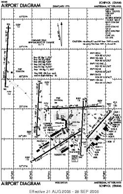
| Name: | Schiphol International Airport |
| ICAO / IATA: | EHAM / AMS |
Details |
| Type: | Airport (Aerodrome, Airfield) |
| Use: | Public/Civil |
| Latitude: | 52°18'29"N (52.308056) |
| Longitude: | 4°45'51"E (4.764167) |
| Elevation: | -11 ft (-2 m) |
| Runways: | 6 |
| Longest: | 12467 × 197 ft (3800 × 60 m) |
Time |
| Timezone: | UTC+1 (DST+4) |
| Local Time: | |
Weather |
| METAR: | EHAM | 041355Z 18018KT 8000 -RA BKN007 BKN012 02/01 Q1020 TEMPO 6000
|
| TAF: | EHAM | 041117Z 0412/0518 19018G28KT 7000 -RA -RASN SCT008 BKN012 PROB40 TEMPO 0412/0416 2000 SNRA OVC006 BECMG 0416/0419 22015KT 5000 BR BKN008 OVC012 TEMPO 0416/0424 2500 DZ BKN004 BECMG 0500/0502 22010KT 3000 BKN004 PROB40 0502/0510 1200 BKN002 BECMG 0510/0512 6000 NSW BKN008 OVC012 BECMG 0516/0518 17010KT
|
Related Locations |
| Nearby: | |
| Farthest: | CHT: 11840 mi / 19055 km
Waitangi [Tuuta], CIT, NZ |
Find: |
|
Other Information |
Maps:
|
Links:
|
Sources:
|
|