| Location |
| City: | | Evansville, Indiana, United States |
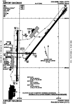
| Name: | Evansville Regional |
| ICAO / IATA: | KEVV / EVV |
| FAA: | EVV |
Details |
| Type: | Airport (Part 139 Class I) |
| Use: | Public/Civil |
| Latitude: | 38°02'27"N (38.040806) |
| Longitude: | 87°31'43"W (-87.528499) |
| Datum: | WGS 1984 |
| Elevation: | 421 ft (128 m) |
| Runways: | 3 |
| Longest: | 8021 × 150 ft (2445 × 45.5 m) |
Time |
| Timezone: | UTC+28:08 (DST+31:08) |
| Local Time: | |
Weather |
| METAR: | KEVV | 041354Z 17007KT 10SM OVC023 12/11 A2987 RMK AO2 RAB23E32 SLP114 P0001 T01220111 $
|
| TAF: | KEVV | 041411Z 0414/0512 17007KT P6SM VCSH BKN023 WS020/21035KT
FM041500 19012KT P6SM VCSH OVC010
FM041900 22011KT P6SM VCSH OVC008
FM050600 33009KT P6SM OVC003
FM051100 36008KT P6SM OVC010
|
Related Locations |
| Nearby: | |
| Farthest: | YAUG: 11153 mi / 17948 km
Augusta [Augusta Airport], WA, AU |
Find: |
|
Other Information |
Maps:
|
Delays:
|
Links:
|
Sources:
|
|