| Location |
| City: | | Flagstaff, Arizona, United States |
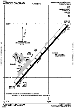
| Name: | Flagstaff Pulliam Airport |
| ICAO / IATA: | KFLG / FLG |
| FAA: | FLG |
Details |
| Type: | Airport (Part 139 Class I) |
| Use: | Public/Civil |
| Latitude: | 35°08'25"N (35.140316) |
| Longitude: | 111°40'09"W (-111.669240) |
| Datum: | WGS 1984 |
| Elevation: | 7014 ft (2138 m) |
| Runways: | 1 |
| Longest: | 8800 × 150 ft (2682 × 45.5 m) |
Time |
| Timezone: | UTC+27:08 (DST+29:08) |
| Local Time: | |
Weather |
| METAR: | KFLG | 041357Z 22017G23KT 8SM -SN OVC008 01/00 A2985 RMK AO2 PK WND 23028/1302 UPB22E24B53E57RAB47E52SNB24E47B57 SLP078 P0001 T00110000
|
| TAF: | KFLG | 041243Z 0413/0512 22018G32KT P6SM SCT010 BKN016 OVC030 TEMPO 0413/0415 4SM -SHSN BR BKN010
FM041500 22017G34KT P6SM SCT010 BKN015 OVC030 TEMPO 0415/0419 3SM -SHSN BKN010
FM050200 23012G22KT P6SM SCT006 BKN010 OVC020 PROB30 0506/0512 2SM -SHSN BR BKN006
|
Related Locations |
| Nearby: | |
| Farthest: | RRG: 11329 mi / 18233 km
Plaine Corail [Sir Gaëtan Duval Airport (Plaine Corail Airport)], Rodrigues Island, MU |
Find: |
|
Other Information |
Maps:
|
Delays:
|
Links:
|
Sources:
|
|