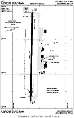
world map with GKE marked

GKE - Airport

This information may not be accurate or current and is not valid for navigation or flight planning. No warranty of fitness for any purpose is made or implied.

flag of North Rhine-Westphaliaflag of Germany

Donate via PayPal

Additional information is available on the NEW Great Circle Mapper

Location
City:  Geilenkirchen, North Rhine-Westphalia, Germany
ICAO / IATA:ETNG / GKE

Details
Type:Airport (Flugplatz, Airfield)
Use:Military
Latitude:50°57'39"N (50.960817)
Longitude:6°02'33"E (6.042417)
Elevation:296 ft (90 m)
Runways:1
Longest:10009 × 147 ft (3051 × 45 m)

Time
Timezone:UTC+1 (DST+4)
Local Time:

Weather
METAR:ETNG  041350Z 22008G18KT CAVOK 05/M03 Q1024 NOSIG
TAF:ETNG  041400Z 0415/0506 21010G20KT CAVOK BECMG 0415/0417 BKN035 TEMPO 0417/0506 7000 -RADZ BKN020 PROB40 TEMPO 0500/0506 4000 BR -RADZ BKN007

Related Locations
Nearby:
Farthest:CHT: 11923 mi / 19188 km
Waitangi [Tuuta], CIT, NZ

Find:

   beyond  
but within

Other Information
Maps:
Sources:


Airport Diagram

Airport diagram for GKE

Airport diagram (OBSOLETE) from NGA


Great Circle Mapper   Great Circle Mapper
Great Circle Mapper FAQ   Great Circle Mapper FAQ
  Karl's Home Page
KLSē   KLSē Home
   GC on Facebook
Airlines of the World   Airlines of the World
Donate via PayPal


Copyright © 2004-2023, Karl L. Swartz. All rights reserved.
All trademarks mentioned herein belong to their respective owners.

Please see credits for attribution and copyright information.

Karl Swartz <karl@kls2.com>
  Powered by FreeBSD
Valid HTML 4.01!
Labeled with ICRA
hCard Microformat
Geo Microformat