| Location |
| City: | | Camp Springs, Maryland, United States |
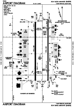
| Name: | Joint Base Andrews |
| ICAO / IATA: | KADW / ADW |
| FAA: | ADW |
Details |
| Type: | Airport (Airfield) |
| Use: | Military |
| Latitude: | 38°48'39"N (38.810826) |
| Longitude: | 76°52'01"W (-76.867045) |
| Datum: | WGS 1984 |
| Elevation: | 279 ft (85 m) |
| Runways: | 2 |
| Longest: | 9756 × 150 ft (2974 × 45.5 m) |
Time |
| Timezone: | UTC+29:08 (DST+32:08) |
| Local Time: | |
Weather |
| METAR: | KADW | 041356Z 02003KT 5SM BR FEW150 02/00 A3009 RMK AO2A SLP199 T00160003 $
|
| TAF: | KADW | 040900Z 0409/0515 VRB06KT 8000 BR FEW050 QNH3005INS BECMG 0414/0415 35006KT 9999 NSW SKC QNH2997INS BECMG 0511/0512 18006KT 9999 SCT030 BKN060 QNH2998INS TX09/0420Z TNM03/0412Z
|
Related Locations |
| Nearby: | |
| Farthest: | YAUG: 11705 mi / 18837 km
Augusta [Augusta Airport], WA, AU |
Find: |
|
Other Information |
Maps:
|
Delays:
|
Links:
|
Sources:
|
|