| Location |
| City: | | Hartford/Springfield, Connecticut, United States |
| Near (Alt.): | Windsor Locks |
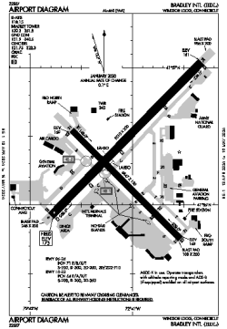
| Name: | Bradley International Airport |
| ICAO / IATA: | KBDL / BDL |
| FAA: | BDL |
Details |
| Type: | Airport (Part 139 Class I) |
| Use: | Public/Civil |
| Latitude: | 41°56'21"N (41.939032) |
| Longitude: | 72°41'04"W (-72.684315) |
| Datum: | WGS 1984 |
| Elevation: | 173 ft (53 m) |
| Runways: | 2 |
| Longest: | 9510 × 200 ft (2899 × 61 m) |
Time |
| Timezone: | UTC+29:08 (DST+32:08) |
| Local Time: | |
Weather |
| METAR: | KBDL | 041351Z 00000KT 6SM HZ FEW070 FEW200 BKN250 03/00 A3008 RMK AO2 SLP187 T00280000
|
| TAF: | KBDL | 041140Z 0412/0518 17005KT P6SM FEW250
FM050000 18005KT P6SM SKC
FM050100 18004KT P6SM FEW250
FM051100 19005KT P6SM BKN050
FM051400 20005KT P6SM BKN080
FM051600 22006KT P6SM SCT100
|
Related Locations |
| Nearby: | |
| Farthest: | YAUG: 11759 mi / 18924 km
Augusta [Augusta Airport], WA, AU |
Find: |
|
Other Information |
Maps:
|
Delays:
|
Links:
|
Sources:
|
|