| Location |
| City: | | Baton Rouge, Louisiana, United States |
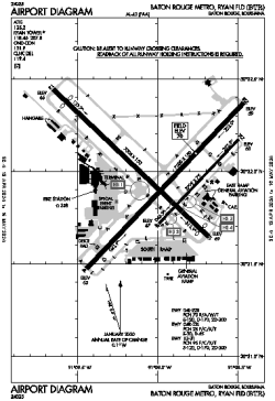
| Name: | Baton Rouge Metro, Ryan Field |
| ICAO / IATA: | KBTR / BTR |
| FAA: | BTR |
Details |
| Type: | Airport (Part 139 Class I) |
| Use: | Public/Civil |
| Latitude: | 30°31'59"N (30.532917) |
| Longitude: | 91°09'00"W (-91.149888) |
| Datum: | WGS 1984 |
| Elevation: | 69 ft (21 m) |
| Runways: | 3 |
| Longest: | 7500 × 150 ft (2286 × 45.5 m) |
Time |
| Timezone: | UTC+28:08 (DST+31:08) |
| Local Time: | |
Weather |
| METAR: | KBTR | 041353Z 11005KT 1/2SM FG VV002 16/15 A3000 RMK AO2 SLP157 T01560150 RVRNO
|
| TAF: | KBTR | 041329Z 0413/0512 08004KT 1/2SM FG VV002 TEMPO 0413/0415 1/4SM FG VV001
FM041800 18006KT P6SM VCSH OVC011
FM050000 VRB04KT P6SM BKN060
FM050500 VRB03KT 4SM BR VCSH OVC003
FM050600 VRB03KT 2SM BR OVC003
|
Related Locations |
| Nearby: | |
| Farthest: | CCK: 11071 mi / 17816 km
West Island (Pulau Panjang) [Cocos (Keeling) Islands], CC |
Find: |
|
Other Information |
Maps:
|
Delays:
|
Links:
|
Sources:
|
|