| Location |
| City: | | Washington, District of Columbia, United States |
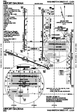
| Name: | Washington Dulles International Airport |
| ICAO / IATA: | KIAD / IAD |
| FAA: | IAD |
Details |
| Type: | Airport (Part 139 Class I) |
| Use: | Public/Civil |
| Latitude: | 38°56'51"N (38.947456) |
| Longitude: | 77°27'36"W (-77.459928) |
| Datum: | WGS 1984 |
| Elevation: | 312 ft (95 m) |
| Runways: | 4 |
| Longest: | 11500 × 150 ft (3505 × 45.5 m) |
Time |
| Timezone: | UTC+29:08 (DST+32:08) |
| Local Time: | |
Weather |
| METAR: | KIAD | 041352Z 36003KT 4SM BR FEW250 02/00 A3011 RMK AO2 SLP197 T00170000
|
| TAF: | KIAD | 041126Z 0412/0518 VRB03KT 5SM BR SCT250
FM041400 VRB03KT P6SM SCT200
FM050300 20004KT P6SM BKN050 BKN130
FM051700 31005KT P6SM BKN050
|
Related Locations |
| Nearby: | |
| Farthest: | YAUG: 11672 mi / 18784 km
Augusta [Augusta Airport], WA, AU |
Find: |
|
Other Information |
Maps:
|
Delays:
|
Links:
|
Sources:
|
|