| Location |
| City: | | Meridian, Mississippi, United States |
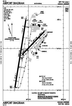
| Name: | Key Field |
| ICAO / IATA: | KMEI / MEI |
| FAA: | MEI |
Details |
| Type: | Airport (Part 139 Class I) |
| Use: | Public/Civil |
| Latitude: | 32°19'57"N (32.332611) |
| Longitude: | 88°45'07"W (-88.751860) |
| Datum: | WGS 1984 |
| Elevation: | 298 ft (91 m) |
| Runways: | 2 |
| Longest: | 10003 × 150 ft (3049 × 45.5 m) |
Time |
| Timezone: | UTC+28:08 (DST+31:08) |
| Local Time: | |
Weather |
| METAR: | KMEI | 041358Z 18006KT 10SM OVC005 16/14 A3003 RMK AO2 SLP169 I1000 T01560144 $
|
| TAF: | KMEI | 041120Z 0412/0512 18006KT 5SM BR VCSH OVC004
FM041300 18006KT 6SM BR VCSH BKN008 OVC050
FM041800 18009KT P6SM BKN015 BKN025
FM042200 19009KT P6SM BKN025 BKN035
FM050200 18005KT 5SM BR BKN006 BKN025
FM050700 19004KT 1SM BR BKN004
|
Related Locations |
| Nearby: | |
| Farthest: | MQZ: 11060 mi / 17799 km
Margaret River [Margaret River Airport], WA, AU |
Find: |
|
Other Information |
Maps:
|
Delays:
|
Links:
|
Sources:
|
|