| Location |
| City: | | Sacramento, California, United States |
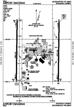
| Name: | Sacramento International Airport |
| ICAO / IATA: | KSMF / SMF |
| FAA: | SMF |
Details |
| Type: | Airport (Part 139 Class I) |
| Use: | Public/Civil |
| Latitude: | 38°41'44"N (38.695444) |
| Longitude: | 121°35'27"W (-121.590777) |
| Datum: | WGS 1984 |
| Elevation: | 26 ft (8 m) |
| Runways: | 2 |
| Longest: | 8605 × 150 ft (2623 × 45.5 m) |
Time |
| Timezone: | UTC+26:08 (DST+29:08) |
| Local Time: | |
Weather |
| METAR: | KSMF | 041353Z 17016G26KT 10SM BKN025 OVC033 09/07 A2947 RMK AO2 PK WND 17028/1336 RAE28 SLP980 P0000 T00940072
|
| TAF: | KSMF | 041132Z 0412/0512 16018G26KT P6SM -SHRA OVC040 TEMPO 0412/0416 4SM SHRA BKN020
FM041800 19019G28KT P6SM -SHRA OVC050
FM050100 19010KT P6SM -SHRA OVC050
|
Related Locations |
| Nearby: | |
| Farthest: | FTU: 11280 mi / 18153 km
Tolagnaro [Maurillac Airport (Fort Dauphin Airport)], MG |
Find: |
|
Other Information |
Maps:
|
Delays:
|
Links:
|
Sources:
|
|