| Location |
| City: | | Klamath Falls, Oregon, United States |
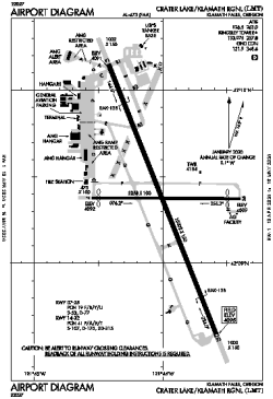
| Name: | Crater Lake/Klamath Regional |
| ICAO / IATA: | KLMT / LMT |
| FAA: | LMT |
Details |
| Type: | Airport (Part 139 Class IV) |
| Use: | Public/Civil |
| Latitude: | 42°09'22"N (42.156144) |
| Longitude: | 121°44'00"W (-121.733204) |
| Datum: | WGS 1984 |
| Elevation: | 4095 ft (1248 m) |
| Runways: | 2 |
| Longest: | 10302 × 150 ft (3140 × 45.5 m) |
Time |
| Timezone: | UTC+26:08 (DST+29:08) |
| Local Time: | |
Weather |
| METAR: | KLMT | 041353Z AUTO 00000KT 1SM -SN BR VV011 M02/M02 A2925 RMK AO2 SLP912 P0000 T10171022 RVRNO $
|
| TAF: | KLMT | 041254Z 0413/0512 30005KT 2SM -SN BR OVC015
FM041500 19009KT 1SM -SN BR BKN007 OVC015
FM041800 24007KT 3SM -SHSN BR SCT007 OVC015
|
Related Locations |
| Nearby: | |
| Farthest: | FAME: 11383 mi / 18320 km
Marion Island, Prince Edward Islands, WC, ZA |
Find: |
|
Other Information |
Maps:
|
Delays:
|
Links:
|
Sources:
|
|