| Location |
| City: | | Mason City, Iowa, United States |
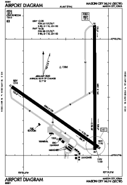
| Name: | Mason City Municipal Airport |
| ICAO / IATA: | KMCW / MCW |
| FAA: | MCW |
Details |
| Type: | Airport (Part 139 Class I) |
| Use: | Public/Civil |
| Latitude: | 43°09'28"N (43.157806) |
| Longitude: | 93°19'52"W (-93.331249) |
| Datum: | WGS 1984 |
| Elevation: | 1213 ft (370 m) |
| Runways: | 2 |
| Longest: | 6501 × 150 ft (1982 × 45.5 m) |
Time |
| Timezone: | UTC+28:08 (DST+31:08) |
| Local Time: | |
Weather |
| METAR: | KMCW | 041353Z AUTO 30021G31KT 2 1/2SM -SN BR OVC010 M12/M13 A2978 RMK AO2 PK WND 31034/1329 SLP096 P0000 T11171133
|
| TAF: | KMCW | 041412Z 0414/0512 31021G31KT 2SM -SN BR OVC010
FM041600 31019G29KT 5SM BR BKN014 OVC030
FM041700 31018G28KT P6SM FEW030 SCT150
FM042300 33015KT P6SM SCT250
|
Related Locations |
| Nearby: | |
| Farthest: | YAUG: 10796 mi / 17374 km
Augusta [Augusta Airport], WA, AU |
Find: |
|
Other Information |
Maps:
|
Links:
|
Sources:
|
|