| Location |
| City: | | Manhattan, Kansas, United States |
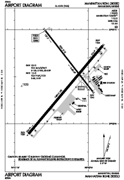
| Name: | Manhattan Regional |
| ICAO / IATA: | KMHK / MHK |
| FAA: | MHK |
Details |
| Type: | Airport (Part 139 Class I) |
| Use: | Public/Civil |
| Latitude: | 39°08'29"N (39.141417) |
| Longitude: | 96°40'18"W (-96.671555) |
| Datum: | WGS 1984 |
| Elevation: | 1066 ft (325 m) |
| Runways: | 2 |
| Longest: | 7400 × 150 ft (2256 × 45.5 m) |
Time |
| Timezone: | UTC+28:08 (DST+31:08) |
| Local Time: | |
Weather |
| METAR: | KMHK | 041416Z AUTO 02009G17KT 10SM OVC011 M04/M07 A2994 RMK AO2 T10391067
|
| TAF: | KMHK | 041133Z 0412/0512 34015G26KT P6SM BKN007
FM041300 35015G27KT P6SM BKN012
FM041400 36014G22KT P6SM FEW015
FM041900 36013KT P6SM FEW250
FM050900 07010KT P6SM FEW020 BKN200
|
Related Locations |
| Nearby: | |
| Farthest: | YAUG: 10655 mi / 17147 km
Augusta [Augusta Airport], WA, AU |
Find: |
|
Other Information |
Maps:
|
Links:
|
Sources:
|
|