| Location |
| City: | | Muskegon, Michigan, United States |
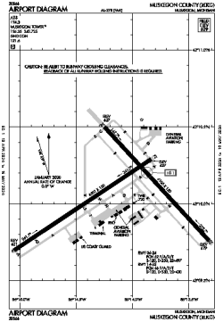
| Name: | Muskegon County Airport |
| ICAO / IATA: | KMKG / MKG |
| FAA: | MKG |
Details |
| Type: | Airport (Part 139 Class I) |
| Use: | Public/Civil |
| Latitude: | 43°10'04"N (43.167672) |
| Longitude: | 86°14'08"W (-86.235438) |
| Datum: | WGS 1984 |
| Elevation: | 628 ft (191 m) |
| Runways: | 2 |
| Longest: | 6501 × 150 ft (1982 × 45.5 m) |
Time |
| Timezone: | UTC+29:08 (DST+32:08) |
| Local Time: | |
Weather |
| METAR: | KMKG | 041355Z 18017G25KT 10SM SCT050 OVC100 11/07 A2969 RMK AO2 SLP055 T01060067
|
| TAF: | KMKG | 041136Z 0412/0512 17009KT P6SM -SHRA SCT006 OVC040 WS020/22035KT
FM041300 18013G20KT P6SM VCSH OVC035 WS020/23050KT
FM041500 19014G21KT 2SM -SHRA BR OVC009
FM041800 21013G21KT 1 1/2SM -SHRA BR OVC006
FM042100 26010KT 2SM BR VCSH OVC009
FM050000 28011G18KT 6SM BR OVC007
FM051000 34012G20KT P6SM BKN027
|
Related Locations |
| Nearby: | |
| Farthest: | YAUG: 11138 mi / 17926 km
Augusta [Augusta Airport], WA, AU |
Find: |
|
Other Information |
Maps:
|
Delays:
|
Links:
|
Sources:
|
|