| Location |
| City: | | Munich, Bavaria, Germany |
| Near (Alt.): | München, Freising |
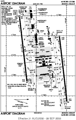
| Name: | Franz Josef Strauss International (Munich International) |
| ICAO / IATA: | EDDM / MUC |
Details |
| Type: | Airport (Flugplatz, Airfield) |
| Use: | Public/Civil |
| Latitude: | 48°21'14"N (48.353783) |
| Longitude: | 11°47'10"E (11.786086) |
| Datum: | WGS 1984 |
| Elevation: | 1487 ft (453 m) |
| Runways: | 2 |
| Longest: | 13123 × 197 ft (4000 × 60 m) |
Time |
| Timezone: | UTC+1 (DST+4) |
| Local Time: | |
Weather |
| METAR: | EDDM | 041350Z 09006KT 9999 FEW010 00/M02 Q1028 R88/190095 NOSIG
|
| TAF: | EDDM | 041100Z 0412/0518 09005KT CAVOK BECMG 0420/0422 VRB02KT PROB30 TEMPO 0501/0509 0300 FZFG VV001
|
Related Locations |
| Nearby: | |
| Farthest: | CHT: 11931 mi / 19201 km
Waitangi [Tuuta], CIT, NZ |
Find: |
|
Other Information |
Maps:
|
Links:
|
Sources:
|
|