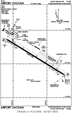
| Location |
| City: | | Diego Garcia, Chagos Archipelago, British Indian Ocean Territory |
| ICAO / IATA: | FJDG / NKW |
Details |
| Type: | Airport (Aerodrome, Airfield) |
| Use: | Military |
| Latitude: | 7°18'48"S (-7.313266) |
| Longitude: | 72°24'40"E (72.411089) |
| Datum: | WGS 1984 |
| Elevation: | 9 ft (3 m) |
| Runways: | 1 |
| Longest: | 12003 × 200 ft (3659 × 61 m) |
Time |
| Timezone: | UTC+6 (DST+8) |
| Local Time: | |
Weather |
| METAR: | FJDG | 041355Z 04006KT 9999 FEW020 FEW250 30/26 A2989 RMK SLP119 T03020263
|
| TAF: | FJDG | 040900Z 0409/0515 04009KT 9999 VCSH FEW020 FEW080 SCT250 QNH2984INS TEMPO 0418/0424 01015KT 8000 -SHRA SCT020 BKN050 OVC080 TX34/0410Z TN27/0423Z
|
Related Locations |
| Nearby: | |
| Farthest: | ZIH: 11616 mi / 18693 km
Ixtapa/Zihuatanejo [Ixtapa-Zihuatanejo Intl], GRO, MX |
Find: |
|
Other Information |
Maps:
|
Links:
|
Sources:
|
|