| Location |
| City: | | Kahului, Maui, Hawaii, United States |
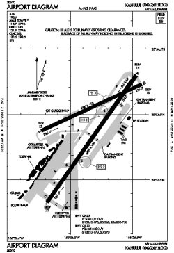
| ICAO / IATA: | PHOG / OGG |
| FAA: | OGG |
Details |
| Type: | Airport (Part 139 Class I) |
| Use: | Public/Civil |
| Latitude: | 20°53'55"N (20.898649) |
| Longitude: | 156°25'50"W (-156.430458) |
| Datum: | WGS 1984 |
| Elevation: | 55 ft (17 m) |
| Runways: | 2 |
| Longest: | 6998 × 150 ft (2133 × 45.5 m) |
Time |
| Timezone: | UTC+24:08 (DST+26:08) |
| Local Time: | |
Weather |
| METAR: | PHOG | 041354Z AUTO 05004KT 10SM FEW026 22/19 A2992 RMK AO2 SLP137 T02170189 TSNO $
|
| TAF: | PHOG | 041120Z 0412/0512 04005KT P6SM FEW030 BKN045
FM042000 04014G22KT P6SM SCT030 BKN050
FM050500 04010KT P6SM FEW030 SCT050 AMD LTD TO VIS AND WIND TIL 041600
|
Related Locations |
| Nearby: | |
| Farthest: | FBRK: 12397 mi / 19951 km
Rakops [Rakops Airport], CE, BW |
Find: |
|
Other Information |
Maps:
|
Delays:
|
Links:
|
Sources:
|
|