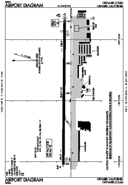
| Location |
| City: | | Oxnard, California, United States |
| ICAO / IATA: | KOXR / OXR |
| FAA: | OXR |
Details |
| Type: | Airport (Part 139 Class III) |
| Use: | Public/Civil |
| Latitude: | 34°12'03"N (34.200807) |
| Longitude: | 119°12'26"W (-119.207225) |
| Datum: | WGS 1984 |
| Elevation: | 44 ft (13 m) |
| Runways: | 1 |
| Longest: | 5953 × 100 ft (1814 × 30.5 m) |
Time |
| Timezone: | UTC+26:08 (DST+29:08) |
| Local Time: | |
Weather |
| METAR: | KOXR | 041351Z AUTO 18007KT 10SM RA 13/10 A2980 RMK AO2 SLP090 P0000 T01280100 $
|
| TAF: | KOXR | 041146Z 0412/0512 16008KT 5SM -SHRA BR BKN015 OVC035
FM041700 22010KT 4SM RA BR OVC015
FM042100 26015G23KT 5SM -RA BR SCT015 OVC025
FM050100 27015G23KT P6SM -SHRA BKN025 OVC040
FM050500 28012KT P6SM -SHRA SCT025 OVC040 AMD NOT SKED
|
Related Locations |
| Nearby: | |
| Farthest: | ZSE: 11486 mi / 18486 km
St-Pierre (St-Pierre de la Réunion) [Pierrefonds], RE |
Find: |
|
Other Information |
Maps:
|
Delays:
|
Links:
|
Sources:
|
|