| Location |
| City: | | Kodiak, Alaska, United States |
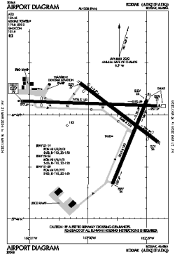
| ICAO / IATA: | PADQ / ADQ |
| FAA: | ADQ |
Details |
| Type: | Airport (Part 139 Class I) |
| Use: | Public/Civil |
| Latitude: | 57°44'59"N (57.749794) |
| Longitude: | 152°29'38"W (-152.493943) |
| Datum: | WGS 1984 |
| Elevation: | 78 ft (24 m) |
| Runways: | 3 |
| Longest: | 7534 × 150 ft (2296 × 45.5 m) |
Time |
| Timezone: | UTC+25:08 (DST+28:08) |
| Local Time: | |
Weather |
| METAR: | PADQ | 041353Z AUTO 00000KT 10SM BKN050 BKN055 02/01 A2997 RMK AO2 SLP150 T00220011 TSNO
|
| TAF: | PADQ | 041139Z 0412/0512 30005KT P6SM VCSH SCT030 OVC050
FM041600 VRB04KT 4SM -RA BR SCT006 OVC012
FM042100 10007KT 1 1/2SM -RA BR BKN006 OVC012
FM050800 29006KT P6SM VCSH SCT015 BKN035
|
Related Locations |
| Nearby: | |
| Farthest: | FAME: 11563 mi / 18610 km
Marion Island, Prince Edward Islands, WC, ZA |
Find: |
|
Other Information |
Maps:
|
Delays:
|
Links:
|
Sources:
|
|