| Location |
| City: | | Pensacola, Florida, United States |
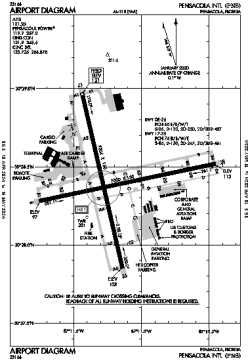
| Name: | Pensacola International Airport |
| ICAO / IATA: | KPNS / PNS |
| FAA: | PNS |
Details |
| Type: | Airport (Part 139 Class I) |
| Use: | Public/Civil |
| Latitude: | 30°28'24"N (30.473417) |
| Longitude: | 87°11'12"W (-87.186610) |
| Datum: | WGS 1984 |
| Elevation: | 120 ft (37 m) |
| Runways: | 2 |
| Longest: | 7004 × 150 ft (2135 × 45.5 m) |
Time |
| Timezone: | UTC+28:08 (DST+31:08) |
| Local Time: | |
Weather |
| METAR: | KPNS | 041400Z 10006KT 2SM BR BKN002 16/14 A3005 RMK AO2 T01560144
|
| TAF: | KPNS | 041120Z 0412/0512 09004KT 6SM BR BKN025 OVC150 TEMPO 0412/0415 1SM BR OVC015
FM041500 13004KT 6SM BR OVC015
FM041800 15008KT P6SM VCSH OVC015
FM050300 15006KT 2SM BR OVC004
|
Related Locations |
| Nearby: | |
| Farthest: | USL: 11158 mi / 17957 km
Useless Loop, WA, AU |
Find: |
|
Other Information |
Maps:
|
Delays:
|
Links:
|
Sources:
|
|