| Location |
| City: | | Fort Polk, Louisiana, United States |
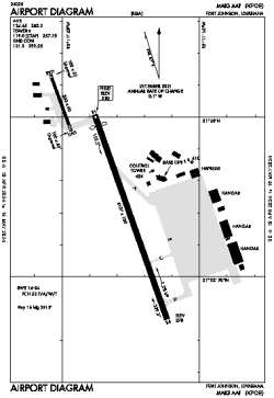
| Name: | Maks AAF Airport |
| ICAO / IATA: | KPOE / POE |
| FAA: | POE |
Details |
| Type: | Airport (Airfield) |
| Use: | Military |
| Latitude: | 31°02'41"N (31.044782) |
| Longitude: | 93°11'30"W (-93.191641) |
| Datum: | WGS 1984 |
| Elevation: | 330 ft (101 m) |
| Runways: | 1 |
| Longest: | 4107 × 100 ft (1252 × 30.5 m) |
Weather |
| METAR: | KPOE | 041413Z AUTO 16005KT 1SM BR VV002 17/17 A2994 RMK AO2 SLP139 RVRNO
|
| TAF: | KPOE | 040800Z 0408/0514 16006KT 4800 -SHRA BR BKN004 QNH2988INS BECMG 0418/0419 20006KT 9999 NSW BKN010 QNH2990INS BECMG 0422/0423 18004KT 9999 BKN008 QNH2991INS BECMG 0502/0503 18004KT 4800 BR OVC007 QNH2995INS BECMG 0510/0511 18004KT 4800 BR OVC004 QNH3000INS TX23/0421Z TN16/0412Z
|
Related Locations |
| Nearby: | |
| Farthest: | CCK: 10986 mi / 17681 km
West Island (Pulau Panjang) [Cocos (Keeling) Islands], CC |
Find: |
|
Other Information |
Maps:
|
Links:
|
Sources:
|
|