| Location |
| City: | | Orenburg, Orenburgskaya, Russian Federation (Russia) |
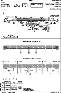
| Name: | Orenburg Tsentralny Airport |
| ICAO / IATA: | UWOO / REN |
Details |
| Type: | Airport (Aerodrome, Airfield) |
| Use: | Public/Civil |
| Latitude: | 51°47'45"N (51.795833) |
| Longitude: | 55°27'24"E (55.456667) |
| Elevation: | 387 ft (118 m) |
| Runways: | 1 |
| Longest: | 8205 × 138 ft (2501 × 42 m) |
Time |
| Timezone: | UTC+5 (DST+6) |
Weather |
| METAR: | UWOO | 041400Z 26005MPS 3000 -SN NSC M11/M13 Q1028 R26/490334 NOSIG RMK QFE760/1014
|
| TAF: | UWOO | 041346Z 0415/0515 28003G08MPS 3100 -SHSN BR OVC011 BKN015CB TXM09/0418Z TNM23/0503Z TEMPO 0415/0418 32003MPS 1000 SHSN FZDZ OVC003 BKN011CB TEMPO 0418/0506 11003G08MPS 0500 FZDZ FZFG VV002 TEMPO 0506/0515 13008G13MPS BLSN
|
Related Locations |
| Nearby: | |
| Farthest: | NEMO: 12222 mi / 19670 km
Pacific Ocean [Oceanic Pole of Inaccessibility (Point Nemo)] |
Find: |
|
Other Information |
Maps:
|
Links:
|
Sources:
|
|