| Location |
| City: | | Sapporo, Hokkaido, Japan |
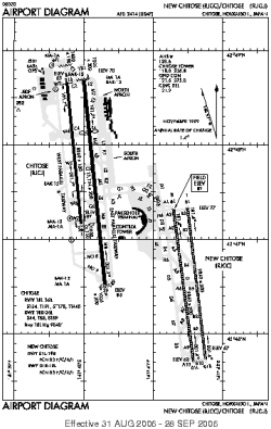
| Name: | New Sapporo International (New Chitose Airport) |
| ICAO / IATA: | RJCC / CTS |
Details |
| Type: | Airport (Aerodrome, Airfield) |
| Use: | Public/Civil |
| Latitude: | 42°46'31"N (42.775200) |
| Longitude: | 141°41'32"E (141.692283) |
| Datum: | WGS 1984 |
| Elevation: | 82 ft (25 m) |
| Runways: | 2 |
| Longest: | 9840 × 200 ft (2999 × 61 m) |
Time |
| Timezone: | UTC+9 (DST+11) |
| Local Time: | |
Weather |
| METAR: | RJCC | 041400Z 32011KT 9999 FEW020 BKN050 M07/M16 Q1012 RMK 1CU020 5CU050 A2991
|
| TAF: | RJCC | 041106Z 0412/0518 32009KT 9999 FEW015 BKN030 TEMPO 0506/0512 3000 -SHSN BECMG 0509/0512 18006KT
|
Related Locations |
| Nearby: | |
| Farthest: | SAVU: 12038 mi / 19373 km
Comodoro Rivadavia [Comodoro Rivadavia UIR], AR |
Find: |
|
Other Information |
Maps:
|
Links:
|
Sources:
|
|