| Location |
| City: | | Rome, New York, United States |
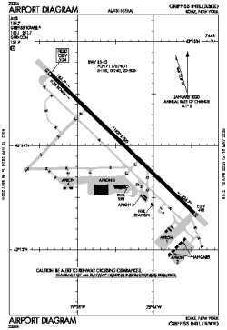
| Name: | Griffiss International Airport |
| ICAO / IATA: | KRME / RME |
| FAA: | RME |
Details |
| Type: | Airport (Part 139 Class IV) |
| Use: | Public/Civil |
| Latitude: | 43°14'02"N (43.233799) |
| Longitude: | 75°24'25"W (-75.407025) |
| Datum: | WGS 1984 |
| Elevation: | 504 ft (154 m) |
| Runways: | 1 |
| Longest: | 11820 × 200 ft (3603 × 61 m) |
Time |
| Timezone: | UTC+29:08 (DST+32:08) |
| Local Time: | |
Weather |
| METAR: | KRME | 041403Z 00000KT 8SM SCT020 BKN044 BKN070 03/02 A3002 RMK AO2 T00280022
|
| TAF: | KRME | 041132Z 0412/0512 00000KT P6SM OVC025
FM041400 VRB03KT P6SM OVC035
FM042000 VRB04KT P6SM SCT035 BKN200
FM050400 VRB04KT 6SM -SHRA OVC050
FM050900 VRB03KT P6SM OVC030
|
Related Locations |
| Nearby: | |
| Farthest: | YAUG: 11599 mi / 18666 km
Augusta [Augusta Airport], WA, AU |
Find: |
|
Other Information |
Maps:
|
Links:
|
Sources:
|
|