| Location |
| City: | | Atlanta, Georgia, United States |
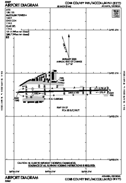
| Name: | Cobb County International/McCollum Field |
| ICAO: | KRYY |
| FAA: | RYY |
Details |
| Type: | Airport (Airfield) |
| Use: | Public/Civil |
| Latitude: | 34°00'47"N (34.013167) |
| Longitude: | 84°35'49"W (-84.597027) |
| Datum: | WGS 1984 |
| Elevation: | 1040 ft (317 m) |
| Runways: | 1 |
| Longest: | 6295 × 100 ft (1919 × 30.5 m) |
Time |
| Timezone: | UTC+29:08 (DST+32:08) |
| Local Time: | |
Weather |
| METAR: | KRYY | 041348Z 05004KT 7SM CLR 07/05 A3010 RMK AO2 SLP914 T00670050
|
| TAF: | KRYY | 041140Z 0412/0512 00000KT 5SM BR SCT250 TEMPO 0412/0414 2SM BR
FM041500 VRB03KT P6SM FEW015 SCT200
FM041700 18004KT P6SM SCT040 BKN120
FM050200 VRB03KT P6SM BKN030
FM050400 VRB03KT P6SM OVC018
FM050700 18004KT 5SM BR VCSH OVC008
|
Related Locations |
| Nearby: | |
| Farthest: | MQZ: 11315 mi / 18209 km
Margaret River [Margaret River Airport], WA, AU |
Find: |
|
Other Information |
Maps:
|
Links:
|
Sources:
|
|