| Location |
| City: | | Antofagasta, Antofagasta, Chile |
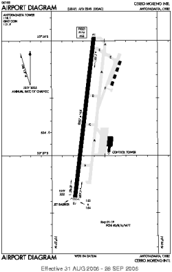
| Name: | Andrés Sabella International (Cerro Moreno International) |
| ICAO / IATA: | SCFA / ANF |
Details |
| Type: | Airport (Aerodrome, Airfield) |
| Latitude: | 23°26'40"S (-23.444443) |
| Longitude: | 70°26'42"W (-70.444999) |
| Elevation: | 455 ft (139 m) |
| Runways: | 1 |
| Longest: | 8527 × 164 ft (2599 × 50 m) |
Time |
| Timezone: | UTC+30:08 (DST+33:08) |
| Local Time: | |
Weather |
| METAR: | SCFA | 041400Z 22006KT 9999 BKN034 22/17 Q1013 NOSIG
|
| TAF: | SCFA | 041056Z 0412/0512 18004KT 9999 BKN029 SCT250 TX23/0418Z TN21/0506Z BECMG 0414/0416 18015KT FEW015 BKN250 BECMG 0502/0504 18004KT CAVOK
|
Related Locations |
| Nearby: | |
| Farthest: | LZH: 12377 mi / 19918 km
Liuzhou [Bailian], GX, CN |
Find: |
|
Other Information |
Maps:
|
Sources:
|
|