| Location |
| City: | | Louisville, Kentucky, United States |
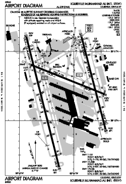
| Name: | Louisville Muhammad Ali International (Standiford Field) |
| ICAO / IATA: | KSDF / SDF |
| FAA: | SDF |
Details |
| Type: | Airport (Part 139 Class I) |
| Use: | Public/Civil |
| Latitude: | 38°10'27"N (38.174085) |
| Longitude: | 85°44'11"W (-85.736493) |
| Datum: | WGS 1984 |
| Elevation: | 500 ft (152 m) |
| Runways: | 3 |
| Longest: | 11887 × 150 ft (3623 × 45.5 m) |
Time |
| Timezone: | UTC+29:08 (DST+32:08) |
| Local Time: | |
Weather |
| METAR: | KSDF | 041356Z VRB04KT 10SM BKN080 BKN120 BKN250 12/08 A2993 RMK AO2 SLP135 T01170083
|
| TAF: | KSDF | 041135Z 0412/0518 13008KT P6SM BKN100 WS020/21035KT
FM041500 18013G20KT P6SM SCT017 BKN030
FM041700 19013G20KT 4SM -SHRA BR OVC015 TEMPO 0417/0419 2SM -SHRA BR BKN008
FM050100 20009KT P6SM VCSH OVC011
FM050600 21008KT P6SM OVC009
FM051100 36006KT P6SM OVC008
|
Related Locations |
| Nearby: | |
| Farthest: | YAUG: 11249 mi / 18103 km
Augusta [Augusta Airport], WA, AU |
Find: |
|
Other Information |
Maps:
|
Delays:
|
Links:
|
Sources:
|
|