| Location |
| City: | | St. Joseph, Missouri, United States |
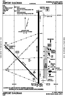
| Name: | Rosecrans Memorial Airport |
| ICAO / IATA: | KSTJ / STJ |
| FAA: | STJ |
Details |
| Type: | Airport (Part 139 Class IV) |
| Use: | Public/Civil |
| Latitude: | 39°46'19"N (39.771944) |
| Longitude: | 94°54'35"W (-94.909705) |
| Datum: | WGS 1984 |
| Elevation: | 826 ft (252 m) |
| Runways: | 2 |
| Longest: | 8061 × 150 ft (2457 × 45.5 m) |
Time |
| Timezone: | UTC+28:08 (DST+31:08) |
| Local Time: | |
Weather |
| METAR: | KSTJ | 041418Z 35019G27KT 5SM BR OVC010 M05/M06 A2990 RMK AO2 PK WND 32028/1403 T10501056
|
| TAF: | KSTJ | 041134Z 0412/0512 34012G27KT 6SM BR VCSH SCT008 BKN015 TEMPO 0412/0414 3SM RASN OVC006
FM042100 01011KT P6SM SCT030
|
Related Locations |
| Nearby: | |
| Farthest: | YAUG: 10747 mi / 17296 km
Augusta [Augusta Airport], WA, AU |
Find: |
|
Other Information |
Maps:
|
Links:
|
Sources:
|
|