| Location |
| City: | | Sault Ste. Marie, Ontario, Canada |
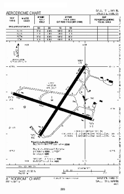
| Name: | Sault Ste. Marie Airport |
| ICAO / IATA: | CYAM / YAM |
Details |
| Type: | Airport (Airfield) |
| Use: | Public/Civil |
| Latitude: | 46°29'06"N (46.485000) |
| Longitude: | 84°30'34"W (-84.509443) |
| Elevation: | 632 ft (193 m) |
| Runways: | 2 |
| Longest: | 6000 ft (1829 m) |
Time |
| Timezone: | UTC+29:08 (DST+32:08) |
| Local Time: | |
Weather |
| METAR: | CYAM | 041400Z 11009G18KT 070V140 4SM -FZRA BR FEW004 BKN006 OVC014 M02/M03 A2975 RMK ST1ST6NS1 ICE ON INDICATOR SLP087
|
| TAF: | CYAM | 041338Z 0414/0502 10010KT 3SM -FZRA BR BKN008 OVC020 TEMPO 0414/0418 6SM -FZRA BR BKN010 OVC025
FM041800 10012G22KT 2SM -FZRA BR OVC003 TEMPO 0418/0420 6SM -FZRA BR OVC006
FM042000 10008KT 5SM -FZRA BR OVC003 TEMPO 0420/0422 6SM -RA BR OVC006
FM042200 VRB03KT 3/4SM -RA BR VV002
FM050000 25010KT 3/4SM -DZ BR VV003 BECMG 0500/0502 5SM -SN OVC010 RMK NXT FCST BY 042000Z
|
Related Locations |
| Nearby: | |
| Farthest: | YAUG: 11110 mi / 17879 km
Augusta [Augusta Airport], WA, AU |
Find: |
|
Other Information |
Maps:
|
Sources:
|
|