| Location |
| City: | | Brandon, Manitoba, Canada |
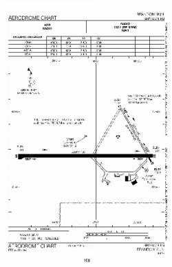
| Name: | Brandon Municipal (McGill Field) |
| ICAO / IATA: | CYBR / YBR |
Details |
| Type: | Airport (Airfield) |
| Use: | Public/Civil |
| Latitude: | 49°54'36"N (49.910000) |
| Longitude: | 99°57'08"W (-99.952221) |
| Elevation: | 1343 ft (409 m) |
| Runways: | 2 |
| Longest: | 6510 ft (1984 m) |
Time |
| Timezone: | UTC+28:08 (DST+31:08) |
| Local Time: | |
Weather |
| METAR: | CYBR | 041400Z 04013KT 1SM -SN OVC024 M24/M28 A3019 RMK SN5SC3 SLP277
|
| TAF: | CYBR | 041143Z 0412/0424 03012KT 3/4SM -SN VV008 TEMPO 0412/0417 4SM -SN OVC015
FM041700 02010KT P6SM SCT015 BKN080 TEMPO 0417/0424 4SM -SN BKN015 OVC080 RMK NXT FCST BY 041800Z
|
Related Locations |
| Nearby: | |
| Farthest: | YCSK: 10866 mi / 17487 km
Casey Station [Casey Station Skiway], Wilkes Land, AQ |
Find: |
|
Other Information |
Maps:
|
Sources:
|
|