| Location |
| City: | | Townsville, Queensland, Australia |
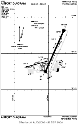
| ICAO / IATA: | YBTL / TSV |
Details |
| Type: | Airport (Aerodrome, Airfield) |
| Use: | Public/Civil, Military |
| Latitude: | 19°15'09"S (-19.252499) |
| Longitude: | 146°45'55"E (146.765278) |
| Datum: | WGS 1984 |
| Elevation: | 18 ft (5 m) |
| Runways: | 2 |
| Longest: | 7999 × 148 ft (2438 × 45 m) |
Time |
| Timezone: | UTC+10 (DST+12) |
| Local Time: | |
Weather |
| METAR: | YBTL | 041417Z AUTO 11017KT 6000 // BKN008 OVC014 25/24 Q1001
|
| TAF: | YBTL | 041144Z 0412/0512 11016KT 9999 -SHRA SCT006 BKN012 OVC024
FM050100 06013KT 9999 -SHRA SCT012 OVC024 TEMPO 0412/0512 2000 SHRA SCT004 BKN006 PROB30 TEMPO 0412/0512 VRB20G40KT 1000 TSRA BKN004 SCT018CB
|
Related Locations |
| Nearby: | |
| Farthest: | NTO: 11894 mi / 19141 km
Ponta do Sol [Agostinho Neto], Ribeira Grande, Santo Antão, CV |
Find: |
|
Other Information |
Maps:
|
Links:
|
Sources:
|
|