| Location |
| City: | | Blanc-Sablon, Québec, Canada |
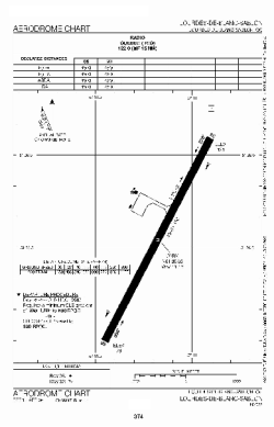
| Name: | Lourdes-de-Blanc-Sablon Airport |
| ICAO / IATA: | CYBX / YBX |
Details |
| Type: | Airport (Airfield) |
| Use: | Public/Civil |
| Latitude: | 51°26'31"N (51.441944) |
| Longitude: | 57°11'10"W (-57.186110) |
| Elevation: | 122 ft (37 m) |
| Runways: | 1 |
| Longest: | 4500 ft (1372 m) |
Time |
| Timezone: | UTC+29:08 (DST+32:08) |
| Local Time: | |
Weather |
| METAR: | CYBX | 041400Z VRB02KT 15SM OVC090 M14/M19 A2998 RMK AS8 SLP157
|
| TAF: | CYBX | 041341Z 0414/0502 30008KT P6SM BKN120
FM041600 28007KT 6SM -SN SCT020 OVC050 TEMPO 0416/0421 21/2SM -SN BKN020 OVC050
FM042100 VRB03KT P6SM -SN BKN015 OVC060 RMK NXT FCST BY 042000Z
|
Related Locations |
| Nearby: | |
| Farthest: | YCSK: 11320 mi / 18218 km
Casey Station [Casey Station Skiway], Wilkes Land, AQ |
Find: |
|
Other Information |
Maps:
|
Sources:
|
|