| Location |
| City: | | Fredericton, New Brunswick, Canada |
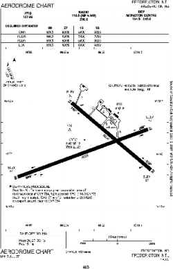
| Name: | International (Greater Fredericton International) |
| ICAO / IATA: | CYFC / YFC |
Details |
| Type: | Airport (Airfield) |
| Use: | Public/Civil |
| Latitude: | 45°52'08"N (45.868889) |
| Longitude: | 66°32'14"W (-66.537221) |
| Elevation: | 67 ft (20 m) |
| Runways: | 2 |
| Longest: | 8005 ft (2440 m) |
Time |
| Timezone: | UTC+30:08 (DST+33:08) |
| Local Time: | |
Weather |
| METAR: | CYFC | 041406Z AUTO 32002KT 5SM -FZRA -SN OVC003 M04/ A2995 RMK ICG INTMT TD MISG SLP144
|
| TAF: | CYFC | 041139Z 0412/0424 VRB03KT 3SM -FZDZ -SN OVC004 TEMPO 0412/0415 6SM BR OVC008 BECMG 0412/0414 22010KT
FM041500 22010KT 6SM -DZ BR BKN008 OVC015
FM041700 24010KT P6SM BKN020 OVC030 BECMG 0422/0424 34005KT RMK FCST BASED ON AUTO OBS. AUTO OBS REP NON-REPRESENTATIVE PCPN TYPE. NXT FCST BY 041800Z
|
Related Locations |
| Nearby: | |
| Farthest: | YDEK: 11649 mi / 18748 km
Denmark, WA, AU |
Find: |
|
Other Information |
Maps:
|
Links:
|
Sources:
|
|