| Location |
| City: | | Îles-de-la-Madeleine, Québec, Canada |
| Near (Alt.): | Magdalen Islands, House Harbour |
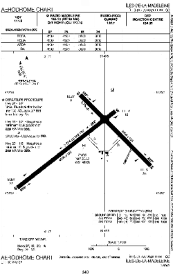
| Name: | Îles-de-la-Madeleine Airport |
| ICAO / IATA: | CYGR / YGR |
Details |
| Type: | Airport (Airfield) |
| Use: | Public/Civil |
| Latitude: | 47°25'30"N (47.425000) |
| Longitude: | 61°46'41"W (-61.778055) |
| Elevation: | 35 ft (11 m) |
| Runways: | 2 |
| Longest: | 4493 ft (1369 m) |
Time |
| Timezone: | UTC+30:08 (DST+33:08) |
| Local Time: | |
Weather |
| METAR: | CYGR | 041400Z 19018G27KT 3SM -SN DRSN OVC040 M06/M09 A3000 RMK SC8 SLP162
|
| TAF: | CYGR | 041338Z 0414/0502 19015G25KT 6SM -SN OVC025 TEMPO 0414/0416 11/2SM -SN VV012 PROB30 0414/0416 4SM -FZDZ BR
FM041600 19018G28KT 11/2SM -SN VV012 TEMPO 0416/0419 3SM -SN OVC020 PROB30 0416/0419 4SM -FZDZ BR OVC008
FM041900 21018G28KT 6SM -SN OVC025 TEMPO 0419/0421 2SM -SN OVC020 BECMG 0419/0421 29012G22KT
FM042100 29012G22KT P6SM BKN040 OVC120
FM042300 32012KT P6SM SCT040 BKN120 RMK NXT FCST BY 042000Z
|
Related Locations |
| Nearby: | |
| Farthest: | ALH: 11568 mi / 18617 km
Albany, WA, AU |
Find: |
|
Other Information |
Maps:
|
Sources:
|
|