| Location |
| City: | | Hamilton, Ontario, Canada |
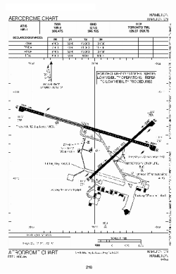
| Name: | John C. Munro Hamilton International Airport |
| ICAO / IATA: | CYHM / YHM |
Details |
| Type: | Airport (Airfield) |
| Use: | Public/Civil |
| Latitude: | 43°10'25"N (43.173611) |
| Longitude: | 79°56'06"W (-79.934999) |
| Elevation: | 780 ft (238 m) |
| Runways: | 2 |
| Longest: | 10006 ft (3050 m) |
Time |
| Timezone: | UTC+29:08 (DST+32:08) |
| Local Time: | |
Weather |
| METAR: | CYHM | 041400Z 18007KT 15SM BKN043 BKN220 05/03 A2992 RMK SC5CI2 SLP138
|
| TAF: | CYHM | 041139Z 0412/0512 23005KT P6SM SCT020 OVC030 TEMPO 0412/0417 BKN020 OVC030 BECMG 0412/0414 22010KT
FM041700 22015KT P6SM SCT030 TEMPO 0417/0420 BKN030
FM042000 20015G25KT P6SM BKN150
FM042300 20015G25KT 4SM -RA BR OVC020
FM050200 23015G25KT 2SM -RA BR OVC005
FM050400 24015G25KT 1SM -DZ BR OVC003
FM050800 27015G25KT P6SM BKN007
FM051100 27010G20KT P6SM BKN015 RMK NXT FCST BY 041800Z
|
Related Locations |
| Nearby: | |
| Farthest: | YAUG: 11422 mi / 18382 km
Augusta [Augusta Airport], WA, AU |
Find: |
|
Other Information |
Maps:
|
Links:
|
Sources:
|
|