| Location |
| City: | | Québec City, Québec, Canada |
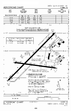
| Name: | Jean Lesage International (Québec City Jean Lesage International) |
| ICAO / IATA: | CYQB / YQB |
Details |
| Type: | Airport (Airfield) |
| Use: | Public/Civil, Military |
| Latitude: | 46°47'28"N (46.791111) |
| Longitude: | 71°23'36"W (-71.393332) |
| Elevation: | 244 ft (74 m) |
| Runways: | 2 |
| Longest: | 9000 ft (2743 m) |
Time |
| Timezone: | UTC+29:08 (DST+32:08) |
| Local Time: | |
Weather |
| METAR: | CYQB | 041400Z 24011KT 3SM BR SCT004 OVC033 M07/M07 A2996 RMK SF4SC4 VIS S 2 SLP154
|
| TAF: | CYQB | 041139Z 0412/0512 23008KT 2SM -FZDZ -SN BR OVC004 TEMPO 0412/0415 6SM BR SCT004 OVC012
FM041500 23010KT P6SM SCT020 BKN030 TEMPO 0415/0418 BKN020 OVC030
FM042300 06008KT 2SM -SN BKN020 OVC030 PROB30 0423/0501 4SM -FZRA -PL BR SCT008 OVC020
FM050100 06012KT 4SM -FZRA -PL BR SCT008 OVC015
FM050600 07012KT 3SM -FZRA BR BKN005 OVC008
FM051100 07005KT 2SM -FZDZ BR OVC003 RMK NXT FCST BY 041800Z
|
Related Locations |
| Nearby: | |
| Farthest: | YAUG: 11506 mi / 18517 km
Augusta [Augusta Airport], WA, AU |
Find: |
|
Other Information |
Maps:
|
Links:
|
Sources:
|
|