| Location |
| City: | | Regina, Saskatchewan, Canada |
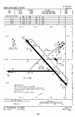
| Name: | Regina International Airport |
| ICAO / IATA: | CYQR / YQR |
Details |
| Type: | Airport (Airfield) |
| Use: | Public/Civil |
| Latitude: | 50°25'56"N (50.432222) |
| Longitude: | 104°39'58"W (-104.666110) |
| Elevation: | 1895 ft (578 m) |
| Runways: | 2 |
| Longest: | 7901 ft (2408 m) |
Time |
| Timezone: | UTC+28:08 (DST+30:08) |
| Local Time: | |
Weather |
| METAR: | CYQR | 041405Z 34006KT 2SM -SN OVC048 M24/M27 A3021 RMK SC8 SLP297
|
| TAF: | CYQR | 041143Z 0412/0512 02010KT 11/2SM -SN OVC020 TEMPO 0412/0416 4SM -SN OVC030
FM041600 04008KT P6SM SCT020 OVC040 TEMPO 0416/0503 4SM -SN OVC020
FM050300 12008KT 4SM -SN BKN015 OVC040 TEMPO 0503/0512 11/2SM -SN VV012 RMK NXT FCST BY 041800Z
|
Related Locations |
| Nearby: | |
| Farthest: | YCSK: 10780 mi / 17348 km
Casey Station [Casey Station Skiway], Wilkes Land, AQ |
Find: |
|
Other Information |
Maps:
|
Links:
|
Sources:
|
|