| Location |
| City: | | North Battleford, Saskatchewan, Canada |
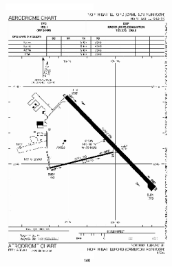
| Name: | North Battleford Airport (Cameron McIntosh Airport) |
| ICAO / IATA: | CYQW / YQW |
Details |
| Type: | Airport (Airfield) |
| Use: | Public/Civil |
| Latitude: | 52°46'09"N (52.769167) |
| Longitude: | 108°14'40"W (-108.244443) |
| Elevation: | 1799 ft (548 m) |
| Runways: | 2 |
| Longest: | 5000 ft (1524 m) |
Time |
| Timezone: | UTC+28:08 (DST+30:08) |
| Local Time: | |
Weather |
| METAR: | CYQW | 041400Z AUTO 03005KT 9SM -SN OVC090 M25/M30 A3030 RMK SLP329
|
| TAF: | CYQW | 041143Z 0412/0424 06008KT 6SM -SN SCT020 OVC090 TEMPO 0412/0419 3SM -SN IC BKN020 OVC080
FM041900 10008KT 4SM -SN SCT012 OVC040 TEMPO 0419/0424 11/2SM -SN VV012 RMK FCST BASED ON AUTO OBS. NXT FCST BY 041800Z
|
Related Locations |
| Nearby: | |
| Farthest: | FAME: 10884 mi / 17516 km
Marion Island, Prince Edward Islands, WC, ZA |
Find: |
|
Other Information |
Maps:
|
Sources:
|
|