| Location |
| City: | | Winnipeg, Manitoba, Canada |
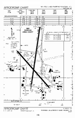
| Name: | Winnipeg James Armstrong Richardson International Airport |
| ICAO / IATA: | CYWG / YWG |
Details |
| Type: | Airport (Airfield) |
| Use: | Public/Civil |
| Latitude: | 49°54'36"N (49.910000) |
| Longitude: | 97°14'24"W (-97.239999) |
| Elevation: | 783 ft (239 m) |
| Runways: | 2 |
| Longest: | 11000 ft (3353 m) |
Time |
| Timezone: | UTC+28:08 (DST+31:08) |
| Local Time: | |
Weather |
| METAR: | CYWG | 041400Z 01026KT 3/4SM R31/5500FT/D R36/4000FT/N -SN BLSN VV012 M23/M27 A3015 RMK BLSN8 SLP241
|
| TAF: | CYWG | 041143Z 0412/0512 01020G30KT 3/4SM -SN BLSN VV015 TEMPO 0412/0419 3SM -SN BKN025 OVC060
FM041900 01018KT 6SM -SN BKN025 BKN080 TEMPO 0419/0422 2SM -SN BLSN OVC015
FM042200 36015KT P6SM SCT020 BKN100 TEMPO 0422/0504 4SM -SN BKN020 OVC100
FM050400 35010KT P6SM SCT015 SCT140 RMK NXT FCST BY 041800Z
|
Related Locations |
| Nearby: | |
| Farthest: | YCSK: 10929 mi / 17588 km
Casey Station [Casey Station Skiway], Wilkes Land, AQ |
Find: |
|
Other Information |
Maps:
|
Sources:
|
|